Professional Utility Locating & Mapping in Nevada
Get reliable utility locating, GPR detection, utility marking, concrete scanning, underground mapping, and GPS & GIS services across Nevada.
ABOUT US
Reliable
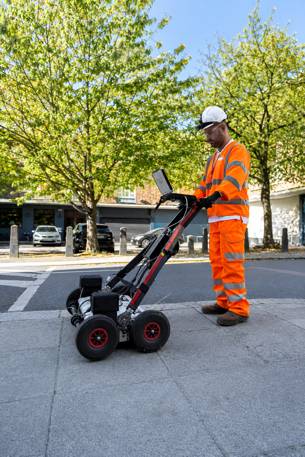
At Utility Locating & Mapping Nevada, we provide professional underground utility locating, detection, marking, scanning, and mapping services for construction, excavation, engineering, commercial, and residential projects throughout Nevada. Our goal is to help clients understand existing subsurface conditions before work begins. By identifying buried utilities and underground infrastructure, we help project teams plan excavation more effectively, reduce unnecessary delays, and minimize the risk of costly utility damage.
Our team uses advanced technologies and proven field methods, including Private Utility Detection, Ground Penetrating Radar (GPR), Utility Line Marking, Concrete Scanning, Underground Utility Mapping, and GPS & GIS Mapping. These services can help identify electrical lines, water pipes, communication systems, gas lines, sewer infrastructure, conduits, rebar, post-tension cables, and other subsurface features. We focus on providing clear, accurate, and useful locating information that contractors, engineers, property owners, and project managers can use for better decision-making.
From small residential improvements to large-scale commercial construction and infrastructure projects, we deliver dependable utility locating and mapping support across Nevada. Our commitment to accuracy, safety, efficiency, and professional service helps clients approach excavation and construction with greater confidence. Whether you need utilities located before digging, concrete scanned before drilling, or underground infrastructure documented through GPS and GIS mapping, Utility Locating & Mapping Nevada is prepared to support your project from initial site investigation through construction planning.
Our Services
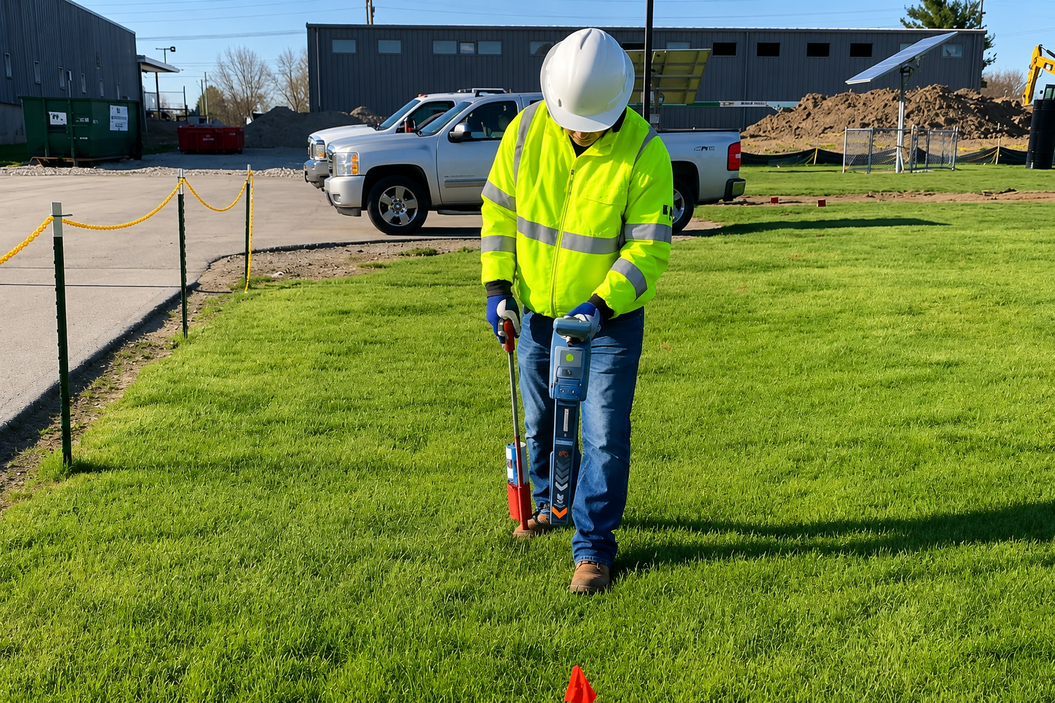
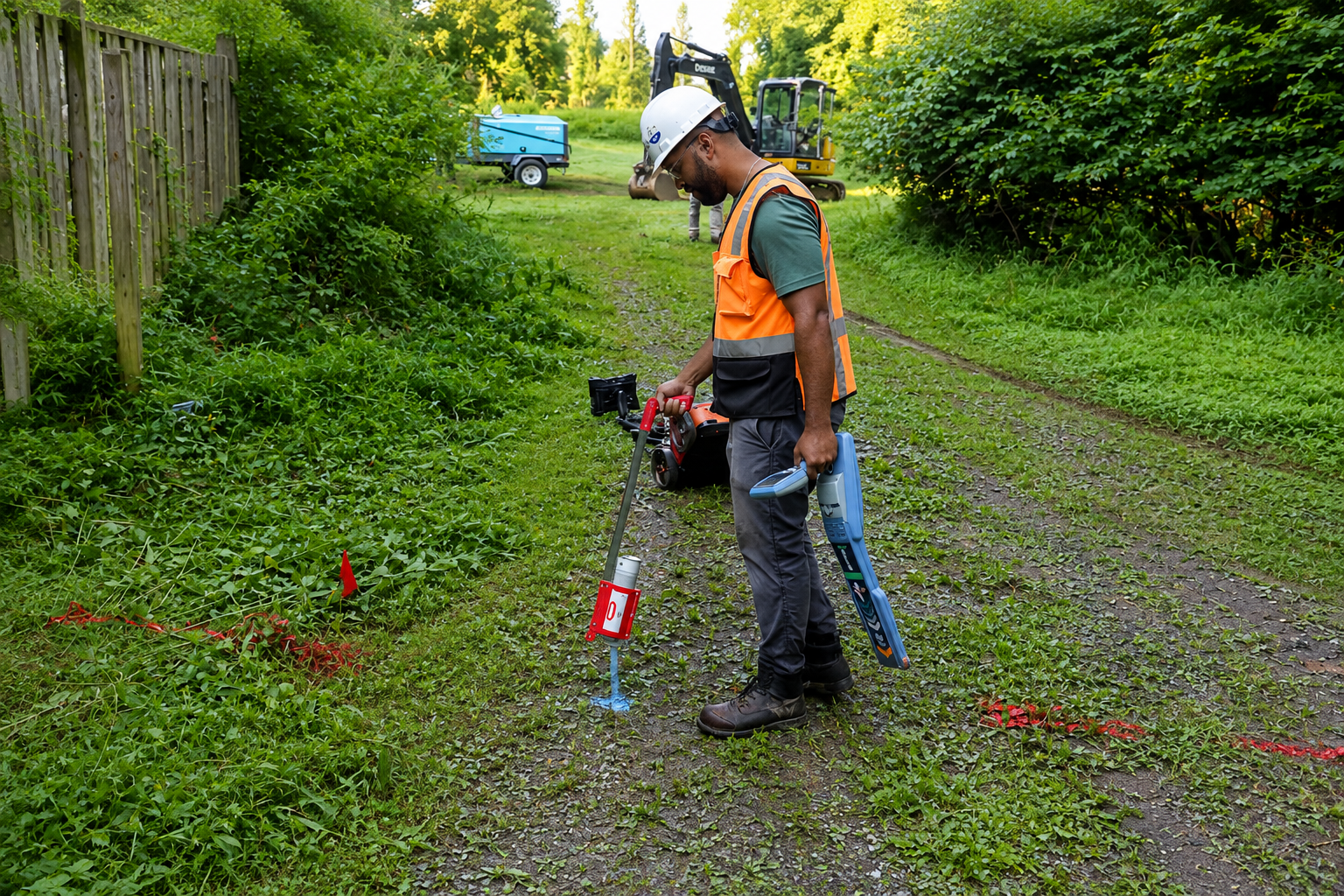
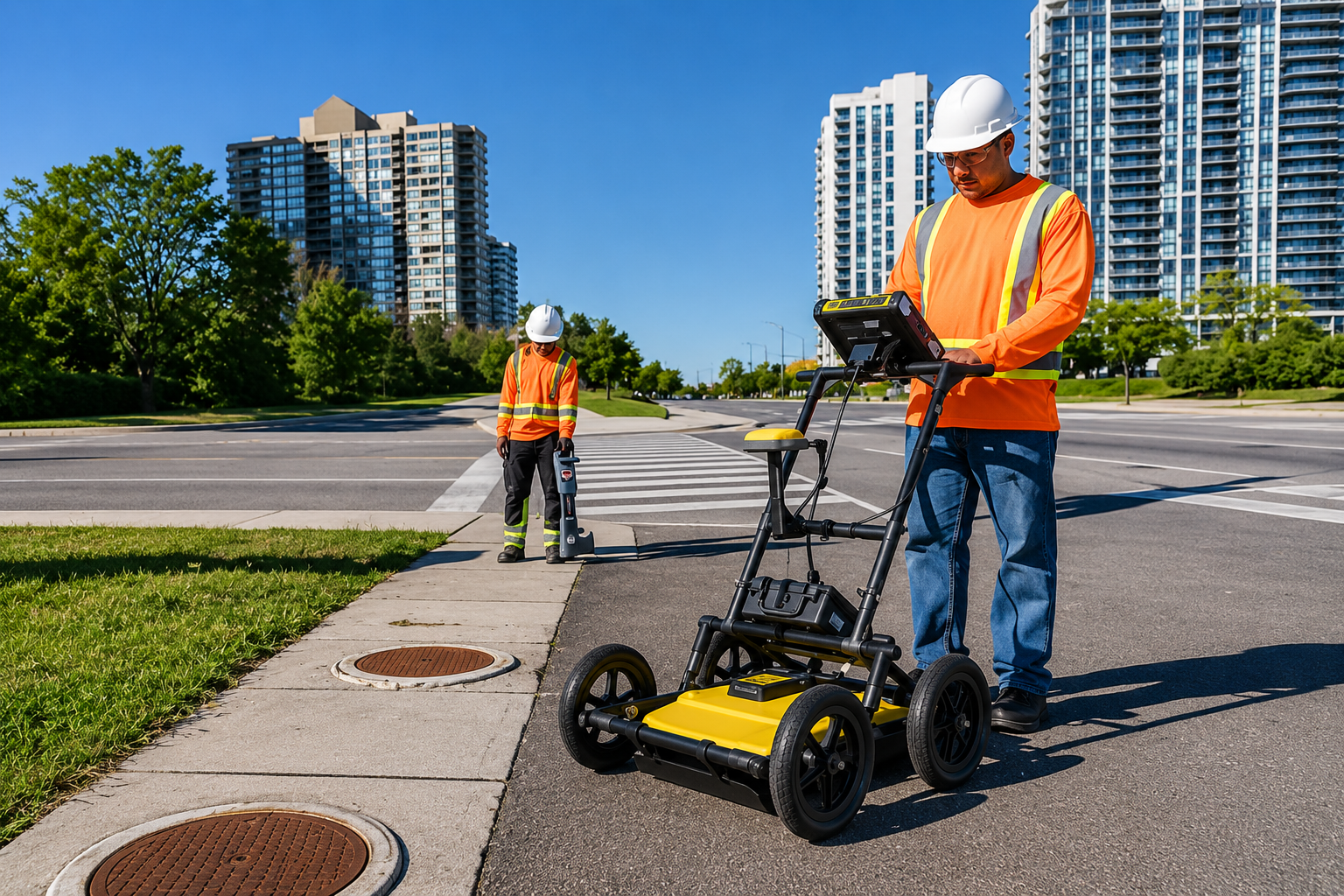
Locate private underground utilities with advanced detection methods. Identify buried electrical, water, gas, sewer, and communication lines before excavation, construction, or site development.
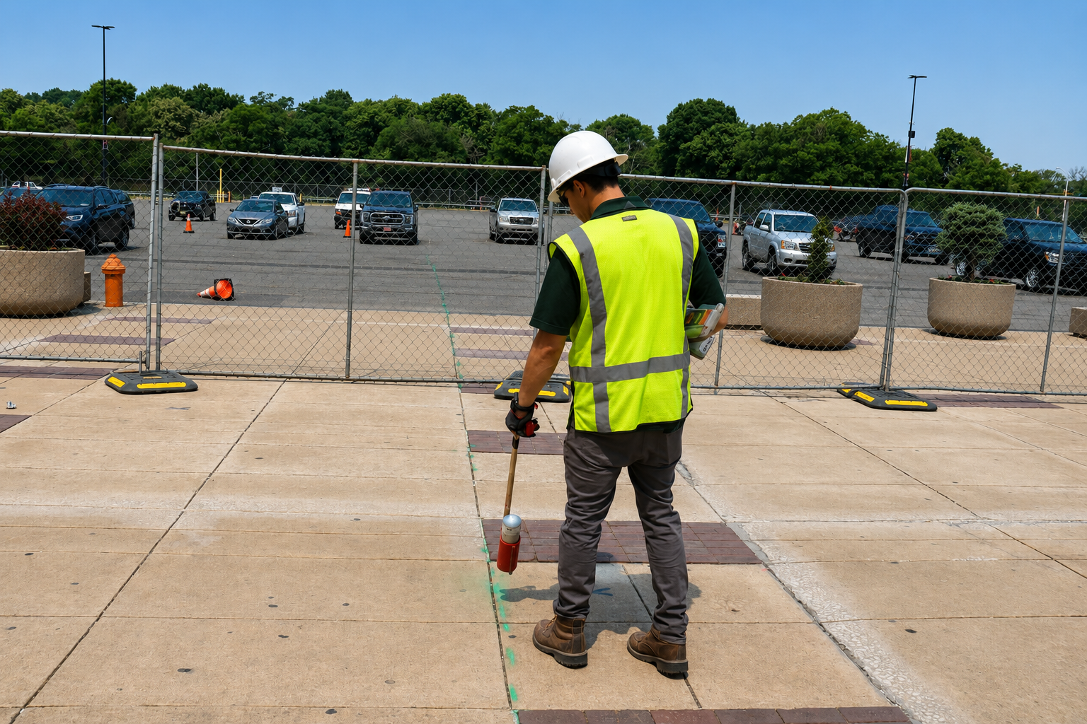
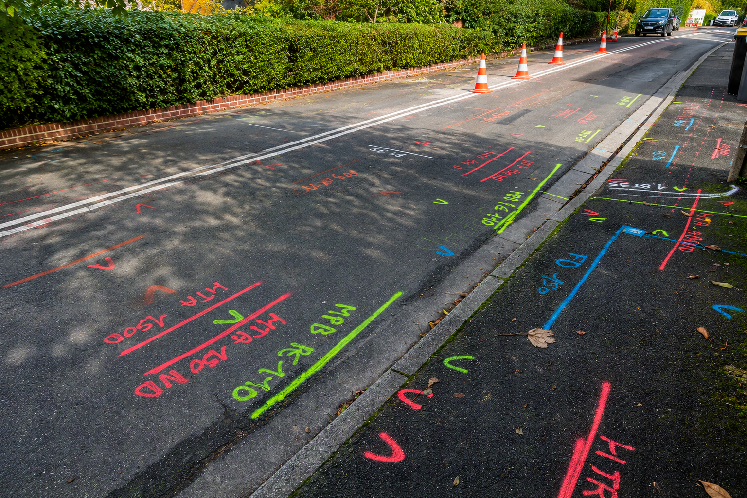
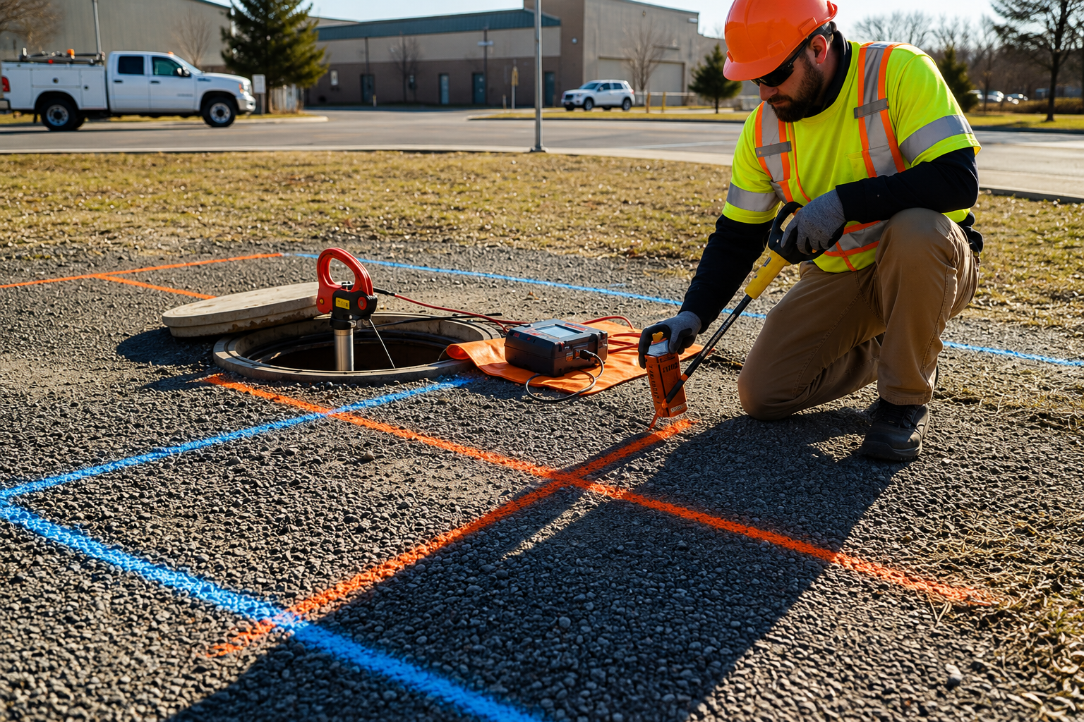
Clearly mark underground utility lines to help crews understand their locations before digging. Our utility marking services support safer excavation, construction planning, and infrastructure projects.
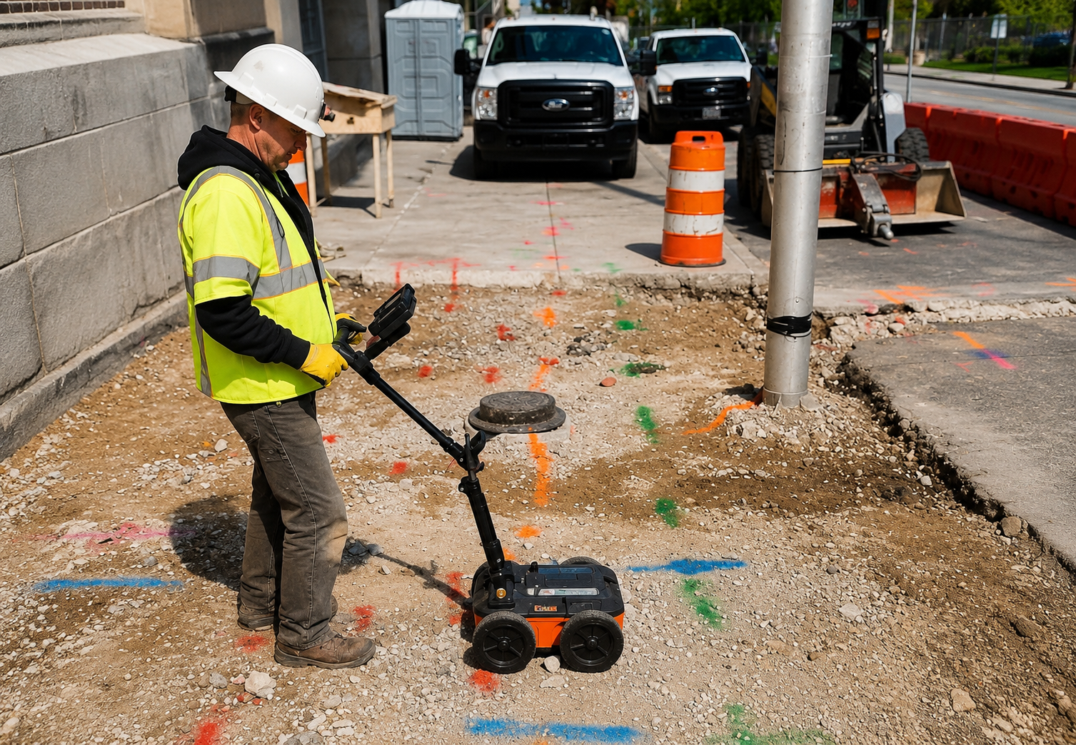
Use Ground Penetrating Radar to detect subsurface utilities, structures, voids, and other buried features. GPR provides detailed underground information without unnecessary excavation.
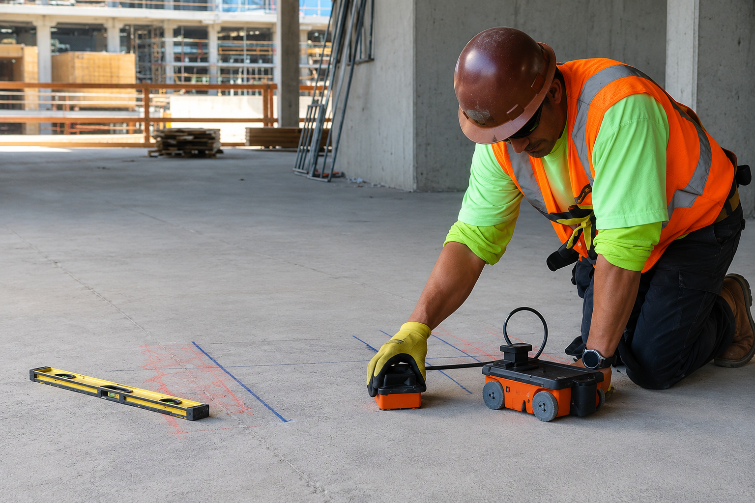
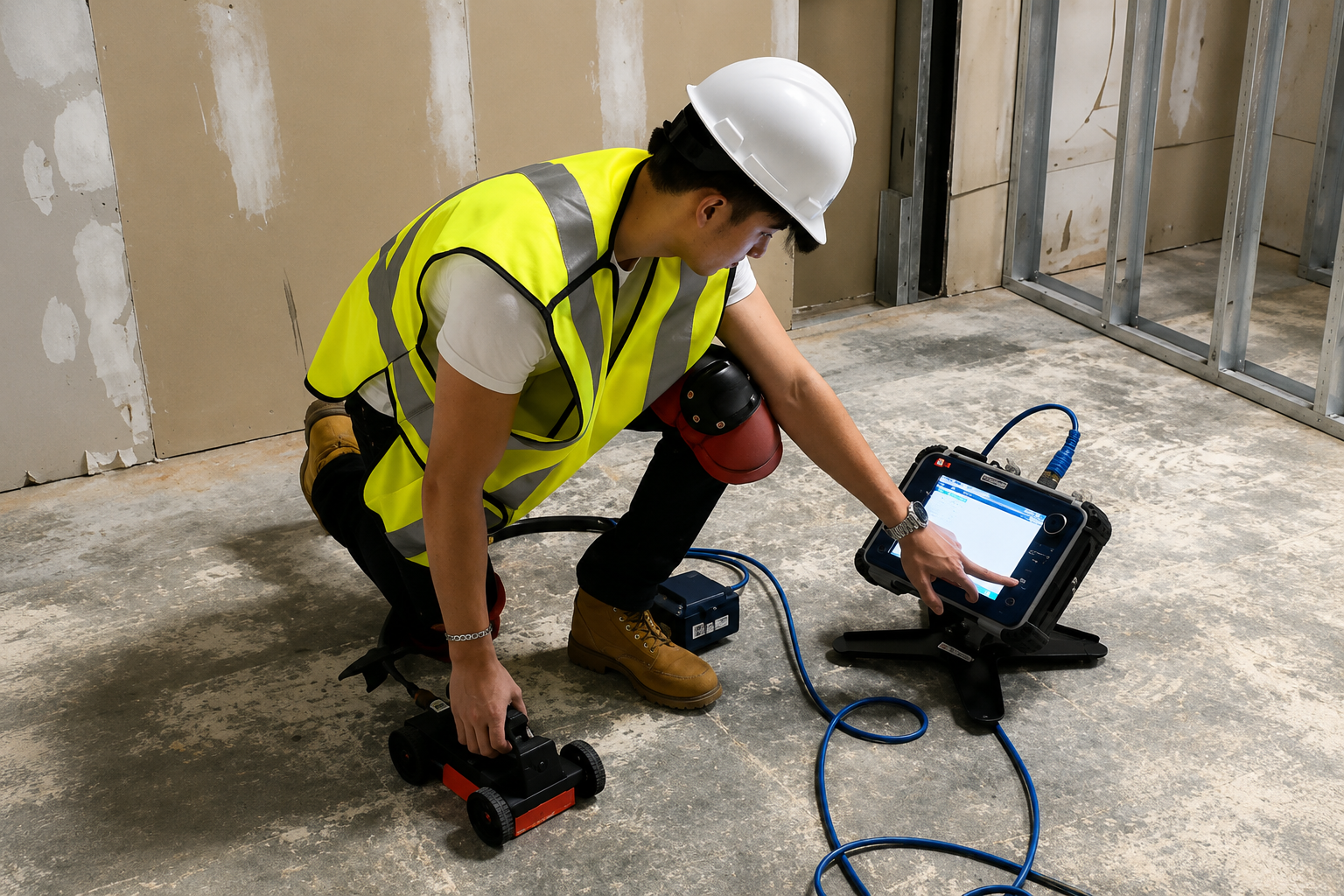
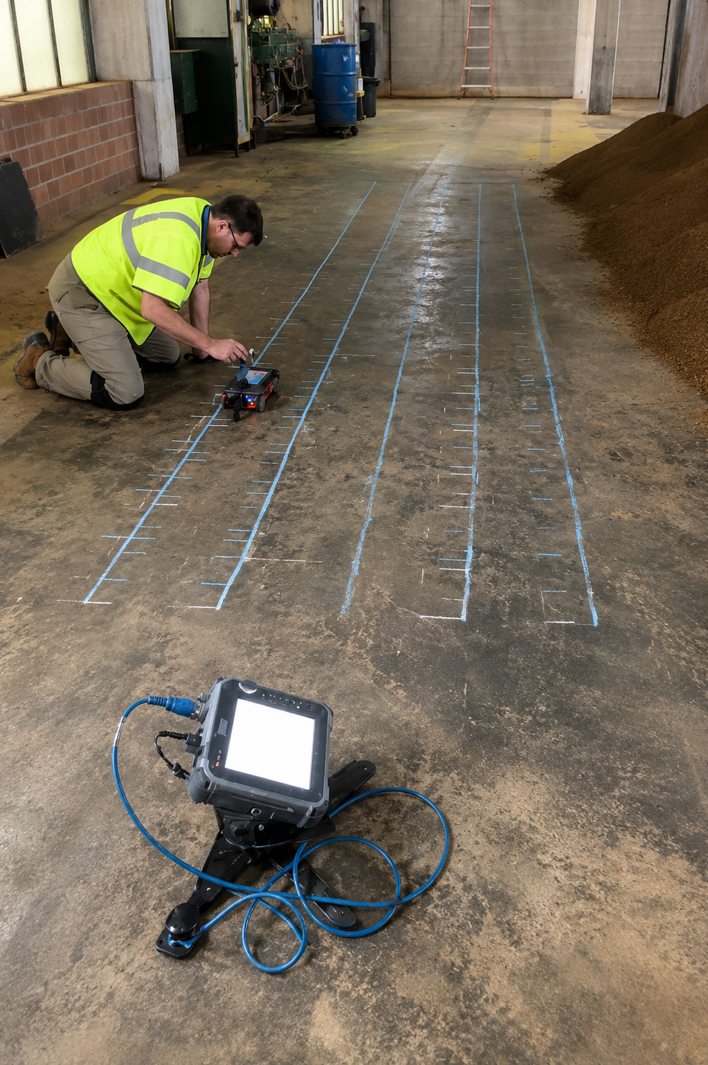
Identify rebar, post-tension cables, conduits, and other embedded features inside concrete. Concrete scanning helps reduce the risk of damage during drilling, cutting, and core work.
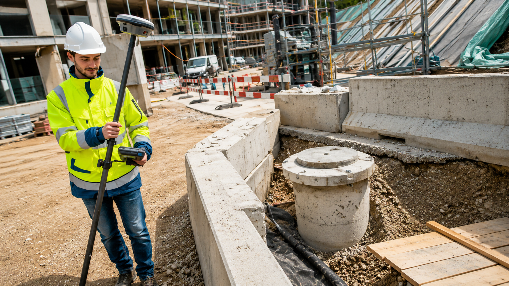
Create accurate maps of underground utility infrastructure using advanced locating and mapping technology. Improve project planning, excavation safety, and long-term infrastructure management.
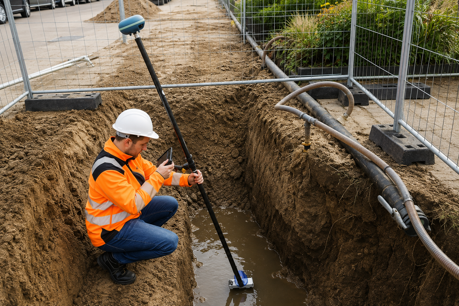
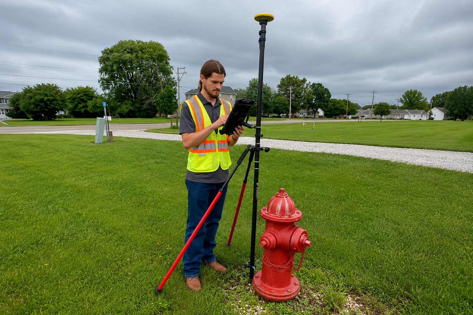
Capture and organize utility locations using GPS and GIS technology. Our mapping solutions provide accurate spatial data that helps manage underground infrastructure and support future construction projects.
The Process
Our Simple 3 Step Process

Contact Us
Start by completing the 'Get a Free Quote' form on our website to share your needs with us so we can take care of you.

Schedule Your Estimate
Next, we'll arrange a property visit at a time that works for you to provide an in-person estimate for your needs.

Get The Job Done
After you approve our estimate, we'll schedule a date to complete the job. Our team will work hard to exceed your expectations!
photo gallery
See Why Our Customers Love Us
Our Service Area?
Las Vegas
Henderson
North Las Vegas
Reno
Enterprise
Spring Valley
Sunrise Manor
Paradise
Sparks
Carson City
Whitney
Pahrump
Winchester
Summerlin South
Fernley
Sun Valley
Mesquite
Elko
Spanish Springs
Dayton
Boulder City
Spring Creek
Gardnerville Ranchos
Fallon
Laughlin
Winnemucca
Silver Springs
Incline Village
Cold Springs
Indian Hills
Minden
Desert Shores
Golden Valley
Battle Mountain
Johnson Lane
Moapa Valley
Lemmon Valley
Verdi
Hawthorne
Yerington
Gardnerville
Ely
Lovelock
Alamo
Tonopah
West Wendover
Carlin
Caliente
Wells
Boulder Junction
Jackpot
Amargosa Valley
East Valley
Panaca
Fallon Station
Genoa
Grass Valley
Pioche
Bunkerville
Round Hill Village
Our Reviews
What Our Customers Have to Say About Us!
Excellent utility locating service. The team was professional, responsive, and provided clear markings that made our excavation work much easier and safer.

We needed underground utility mapping for a construction project, and the team delivered accurate information quickly. Great communication and very professional service.
Very impressed with their GPR and concrete scanning work. They helped us identify underground features before drilling and saved us from potential problems on the job.
FREQUENTLY ASKED QUESTIONS
What Is Private Utility Locating?
Private utility locating identifies underground lines that may not be covered by public utility marking services. It helps locate electrical, water, gas, sewer, communication, and other private utilities before excavation.
When Is Utility Marking Necessary?
Utility marking is recommended before digging, trenching, drilling, landscaping, construction, or excavation. Clearly marked utility lines help crews avoid underground infrastructure and reduce the risk of costly damage.
What Is Ground Penetrating Radar (GPR)?
GPR is a non-invasive detection technology that uses radar signals to identify subsurface features. It can help locate utilities, voids, structures, rebar, and other objects beneath the ground or concrete.
Why Is Concrete Scanning Important?
Concrete scanning helps identify rebar, post-tension cables, conduits, and other embedded objects before cutting or drilling. This helps contractors plan work more safely and avoid damaging critical structures or utilities.
What Is Underground Utility Mapping?
Underground utility mapping documents the location and layout of buried infrastructure. Accurate utility maps help construction teams plan projects, reduce excavation risks, and make future maintenance and development easier.
Request A Free Quote
BUSINESS
SERVICES
SERVICE AREAS
OPERATING HOURS
Sun: Closed
Mon: 7:00am - 7:00pm
Tue: 7:00am - 7:00pm
Wed: 7:00am - 7:00pm
Thu: 7:00am - 7:00pm
Fri: 7:00am - 7:00pm
Sat: 7:00am - 7:00pm